Surveyor
Gilmer County’s official land surveyor is a highly skilled professional who measures land areas and boundary lines for various purposes, such as construction, real estate, mapping, or legal documents.
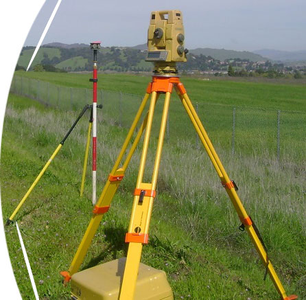
Our land surveyor visits the property and uses sophisticated equipment, such as GPS, theodolites, and scanners to collect and record data.
The scope of the Surveying office includes, but is not limited to:
- Conduct site survey
- Analyzing data
- Maintaining equipment
- Ensure compliance with regulations
- Collaborate with county government officials
- Providing expert testimony in legal cases
